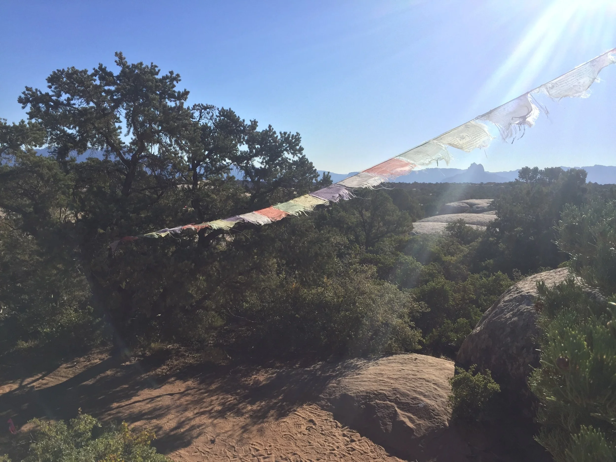
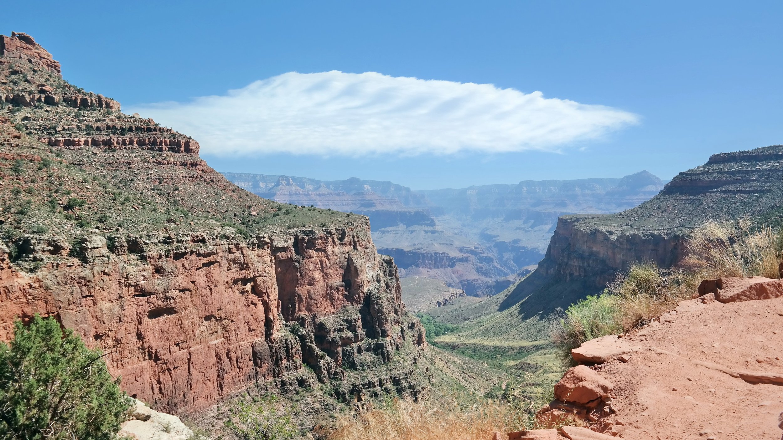
The Narrows Top Down in one day is one of most unique and more challenging day hikes I have done. Spanning 16 miles from Chamberlain's Ranch to the Temple of Sinawava in Zion National Park, you follow the Virgin River as it carves its way through Zion Canyon. For most of the hike, you walk in the river itself.
This is far from a traditional trail. The water ranges in depth from ankle to waist deep and you may even find yourself swimming through some parts. It's called the Narrows because it winds its way through the narrowest part of Zion Canyon. You'll find yourself flanked on both sides by canyon walls over 1,000 feet tall with the Virgin River stretching 20 to 30 feet from wall to wall. It is truly an amazing hike and one I would highly recommend if you plan to visit Zion National Park.
Day Hike or Overnight?
There are three ways to Hike the Narrows. 1) Bottom Up day hike, 2) Top Down day hike, and 3) Top Down overnight hike. This post outlines how to plan both versions of the Top Down hike.There are many factors to consider including permits, cost, how fast a hiker you are, and how much time you want to spend on the hike. If you're not sure which version of this hike is best for you, check out this earlier post to help you decide.
Permits
Obtaining a permit will be the number one factor that decides which version of the Narrows hike you can do. Both versions of the Top Down hike require a permit.
Over half of all permits are issued in advance through an online reservation system and are made available in a three-month time frame. The system opens on the fifth of every month at 10am MT. This means that if you are aiming for an October hike, you’ll need to try for a permit on August 5th at 10am MT. Click here to access the Zion permit reservation site.
These permits are extremely competitive and sell out in a matter of minutes during desirable months. There are only 12 campsites along the trail with only half being reserve-able in advance, so overnight permits are especially competitive. For day hikes, there is also last-minute drawing 7-2 days in advance of your trip date. Any leftover day hike permits and half of all overnight permits are available one day prior to the desired hike date at the Zion Visitor Center.
You'll need to pick up your permit in person at the Zion Visitor Center the day before your hike. Keep this in mind when planning your travel to and from the park.
We were not able to obtain an overnight permit despite trying right at 10am MT. All of the overnight permits for the month were sold out within three minutes. I recommend having at least two people trying for overnight permits to increase your chances. Also, note that just because you reach the screen where it asks for your information does not mean you have the permit in the bag. I had filled out all of my information including credit card info and when I clicked submit was told there were no permits available.
When to go
Don’t forget that most of this hike is through the water, and naturally the water gets colder as temperatures drop. The busiest time of year is late Spring and Summer because water levels are lowest and the temperatures are warmer; however, flash floods are more common during this time. During winter and early spring, you should expect colder water and higher water levels. Fall offers less erratic weather but water temperatures remain cold. No matter when you go, day and night temperatures can fluctuate greatly so be sure to bring layers!
We did the Top Down day hike at the beginning of October and it was lovely. We started out on a pretty cold morning but it warmed up throughout the day and we were able to peel our layers off. The amazing fall colors made the cold morning totally worth it.
Transportation
This hike does not begin and end at the same place, so you'll need to arrange transportation to and from the trailhead ahead of time.
Getting to the trailhead:
The hike begins at the Chamberlain’s Ranch trailhead, which is a 1.5-hour drive from the Zion visitor center. The road is paved for about half of the way but the second half is along very rough dirt roads. I would not take a non-4-wheel drive vehicle on this road and highly recommend hiring one of the shuttle services offered in the area so you don’t have to worry about retrieving your car after the hike.
We rented a shuttle from Zion Adventure Company for $37 a person. There were two morning shuttle times offered and we chose the earliest one at 6:15am. The shuttle picks up in front of the Adventure Company which is located just outside the park in the town of Springdale.
Getting from the trailhead:
The trail ends at the Temple of Sinawava in Zion National Park. This part of the part is not accessible to private vehicles and your only option is to take the park shuttle. The shuttle has several drop offs throughout the park and will eventually take you back to the park visitor center. From there you can catch another short, free shuttle to the town of Springdale and back to your car.
Keep in mind that the time of the last shuttle from the Temple of Sinawava changes throughout the year. At the time we went in October, the last shuttle was at 7:15 pm. We were dropped off at the trailhead at 7:45 am. That gave us 11.5 hours to complete the hike; the Park Service says 12 hours is the average. We finished in 9.5 hours but took very few breaks. If you're a slow hiker or don't want to feel rushed, the day hike may not be a good option for you.
You can find the most up to date park shuttle schedule on the most recent map & guide found on the park's website.
Gear
For our Top Down day hike we rented canyoneering shoes, neoprene socks, walking sticks, and dry pants from Zion Adventure Company.
Canyoneering shoes vs tennis shoes or hiking boots
The canyoneering shoes were not very comfortable but I couldn't imagine doing this hike in one day without them. They were very sturdy and kept me from slipping on the wet rocks. A lot of people will do this hike in old tennis shoes and while that probably would have been fine, I appreciated the grippy surface and ankle support of the canyoneering shoes. I would not recommend hiking boots as they would quickly get water logged and very heavy on your feet.
Rented walking stick vs trekking poles
I had brought my trekking poles with the full intent of using them rather than renting a walking stick; however, the rental package we chose came with one so I decided to use it. While I could have gotten away with trekking poles I am really glad I brought the walking stick. It was a lot sturdier than trekking poles and the height of the stick made crossing fast moving water much easier.
Dry pants or dry suit vs no dry pants
This will depend on what time of year you're doing the hike and how tolerant you are to cold. The water temperature ranges from 65 degrees in warmer months to 38 degrees in the winter. Personally, I would have been miserable if we didn't rent the dry pants. If there are areas that require swimming (the rangers or employees at the rental companies will be able to tell you), you might want to rent the dry suit.
Dry Bags
Your bag will likely never ben completely submerged in water, but on the off chance that you fall or there are areas you need to swim through, it's a good idea to bring a waterproof pack or dry bags that will fit inside your current pack. It's worth it to keep any extra layers, electronics, and food you bring with you dry. We bought a cheap 20 Liter dry bag backpack off Amazon and it worked perfectly.


